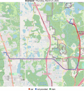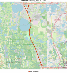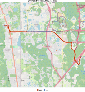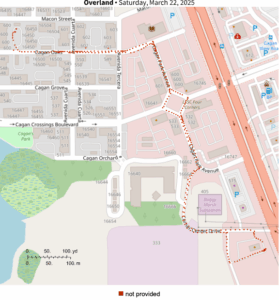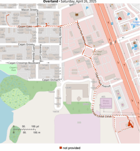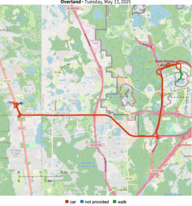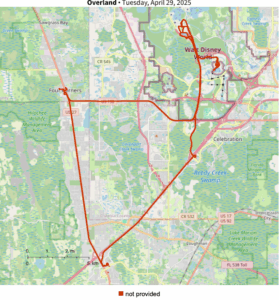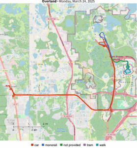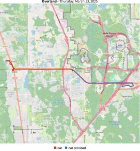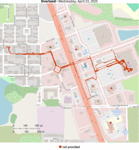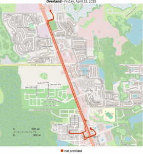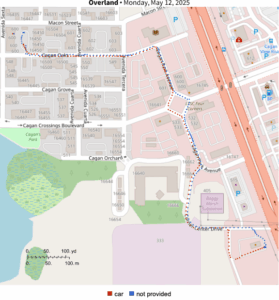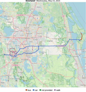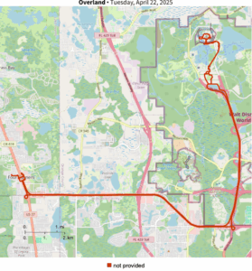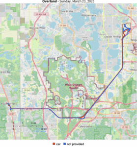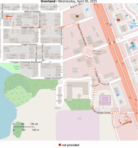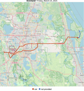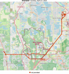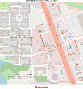
Got around to rendering the entire daily GPS tracking history into daily files using Wolfram Language. Clearly there is some data cleanup needed in terms of properly identifying activities, but this looks very promising.
I tried doing these initially with geopandas in Python, and while it also worked well, the resulting images were all kinds of different sizes and aspect ratios—a known shortcoming with the module. So I turned to my copy of Mathematica to make consistently-formatted graphics, after finally figuring out how to apply a custom map tile server (because Wolfram’s OpenStreetMap implementation is a bit dated).
Overland is an iOS app developed by Aaron Parecki for personal GPS activity and device tracking.